Skip to content
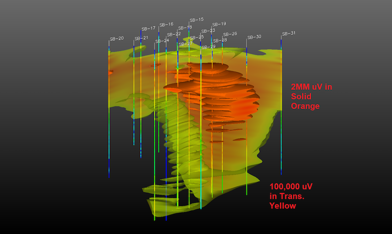
- 2D/3D modeling, integrating aerial photography and site features utilizing EVS
software - Statistical analysis (ProUCL etc.)
- Plume stability demonstrations
- Soil and groundwater contaminant transport modeling
- Multi-depth soil and groundwater concentration mapping
- Source zone identification and receptor pathway analysis
- Tier 3 risk-based closure arguments